Well, my back is stiff from yanking it on heavy things at work yesterday, so I’m finally doing one of those there blog posts about my race experience. Welcome back!
Screenshots. So handy. There was progression over time. The one I remember most distinctly was my campsite the first night out, at Ruckle Provincial Park on the southeast side of Saltspring Island. The icon on the map was so big it covered the park. Fortunately in my front-view mirror I could see tents along the shoreline! And a helpful camper knew where there was a gravel beach. But I digress.
Here are screenshots I took in Victoria, when it was apparent I had no cell phone data service.
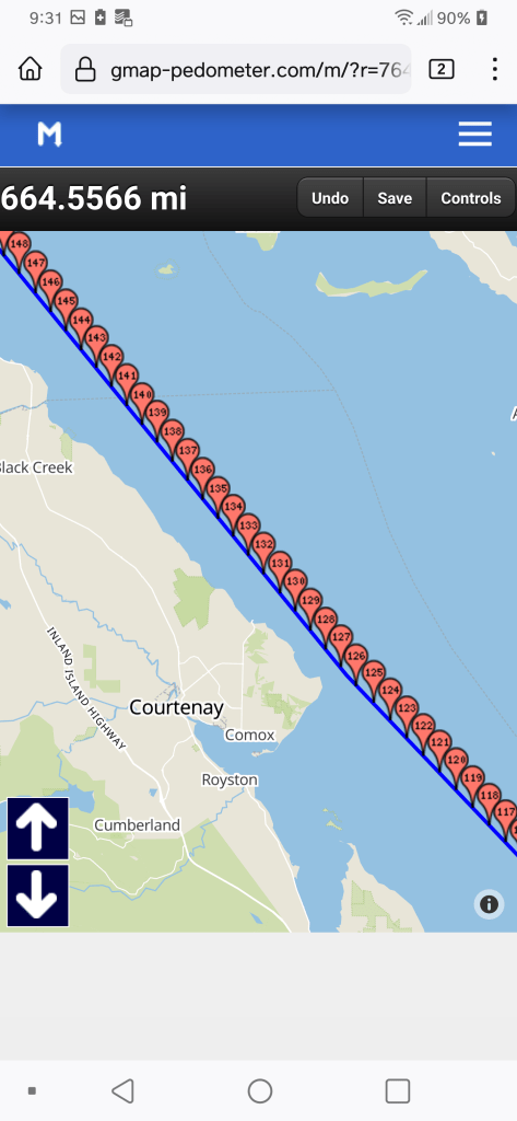
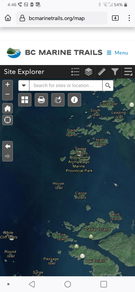
After Victoria, I next had internet in French Creek. I remember compulsively checking weather reports on Windy and Sailflow, but those screenshots are lost to time. By Lagoon Cove, however, my technique had become more refined:
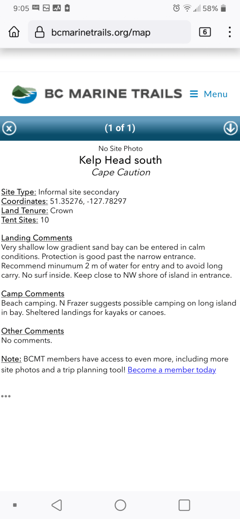
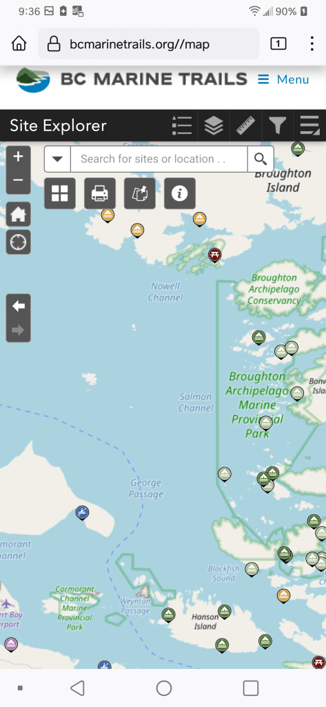
Feeling increasingly freaked out, when I met Leif of Dual Fuel Services (highly recommend! He had human fuel as well as the engine kind!), he set me up with a hotspot and I took a LOT of screenshots of descriptions.